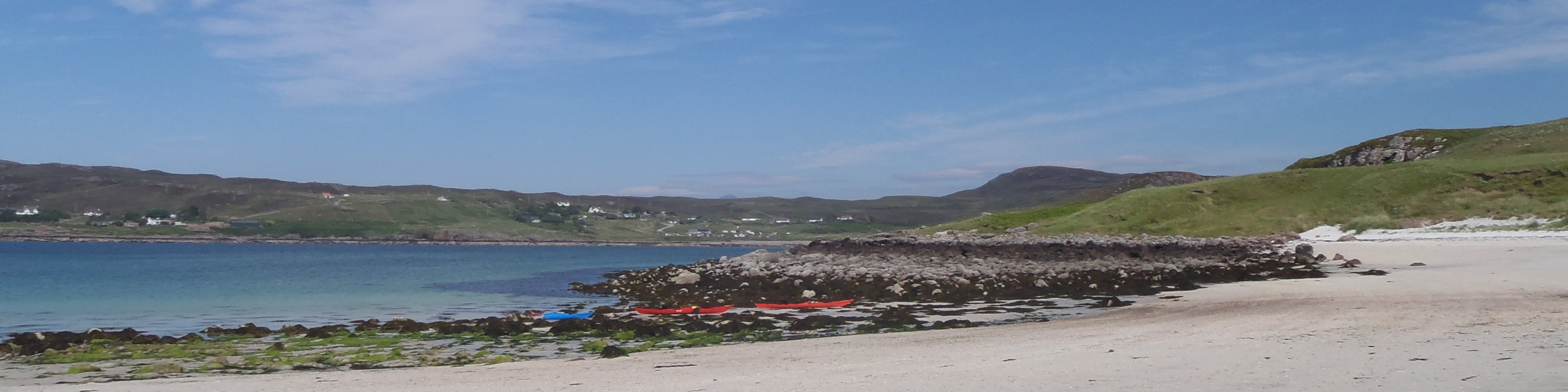
Ben Klibreck
| Ben Klibreck [NC585299, 962] | |
| OS map : | 9 |
| start : | Vagrastie Bridge. |
| gridref : | NC533272 |
| Park by the bridge over river. This allows for easy crossing of the river. | |
| summary : | Vagrastie Bridge - Ben Kilbreck - Vagrastie Bridge |
| distance : | 15.0km. |
| ascent : | 900m. |
| time taken : | 6hr. 10min. |
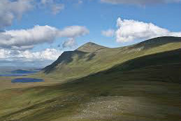
Ben Klibreck
©ness64.wordpress.com
Lairg
Current Weather
Last Updated today at : 20:18:29
| Overall : | overcast clouds |
| Temperature : | 10degC. |
| Wind Speed : | 29km/hr. |
| Direction : | W |
| Clouds : | overcast clouds |
| Precipitation : | none |
| Sunrise : | 05:51:20 |
| Sunset : | 18:33:13 |
Data from openweathermap.org
[Note all times are GMT - add an hour for BST.]
Ben Klibreck is an isolated munro in central Sutherland. Whilst isolated it is only 4k from the nearest road and this route goes from here. Ben Klibreck has a long, SW to NE ridge and walking the full length is a much longer walk. There are few paths here, non marked on the map. But the walker can find a way through this land. The route does involve a river crossing so make sure that this route is followed in dry conditions.
Park by the bridge over river. This allows for easy crossing of the river.
There are many routes up Ben Klibreck, all of which involve crossing some wet ground to the west of the hill; some also involve crossing a river. From the suggested parking set of east, in a straight line to reach Cnoc Sgriodain. The first part is over some wet and flater ground but the second part is steeper and less wet. Once on the ridge the walking gets better. The main ridge of Ben Klibreck is followed to Creah an Lochan, then down slightly to A'Chioch and finally east up the final steep slopes of Ben Klibreck. A trig point marks the summit. (7.5kms. 800m. 3hrs. 50min.)
It is back the same way. Follow the ridge, first west then south to the bealach, and then climb Creag nana Lochan. From here make your way to Cnoc Sgriodain. From here descend the lower slopes onto the flat ground and then over the wet areas to the road. (7.5kms. 100m. 2hrs. 30min.)
© northwestedge.co.uk all rights reserved 2017-2026